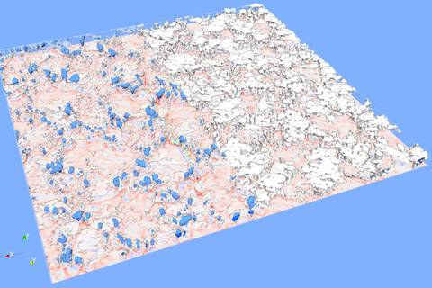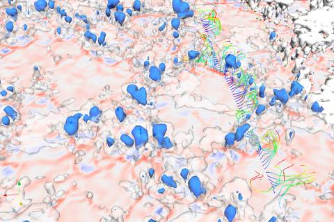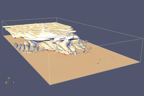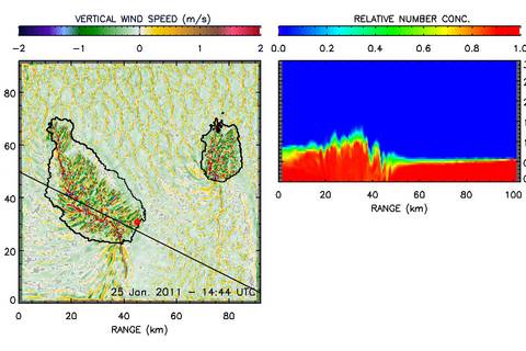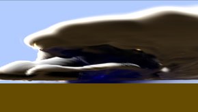
Fig.1: Heavy precipitating deep convective cloud with cloud tops at 15 km and ice anvil. Source: Stefan Horn/TROPOS
One important research field at the interface between in-situ measurements, remote sensing and modeling is the high resolution simulation of the atmospheric boundary layer including cloud processes.The fundamental basics for the used model are the compressible Euler equations, which are widely used in computational flow models. Those equations have been extended with additional equations for the balance of energy and the phase transitions for the water content in the atmosphere. Therefore processes like condensation and evaporation, droplet growth, freezing and melting of cloud droplets and the formation of precipitation of rain and snow can be represented. Currently included water phases are water vapor, cloud water, rain, cloud ice and snow with the respective particle number concentrations for each phase.
One special feature, which distinguishes the numerical model applied here from other weather forecast models, is the used resolution. In dependence on the studied process, the domain size may vary from some few to over one hundred kilometers. The size of one grid cell is typically in the range of some meters up to several decameters.
To perform those high resolution simulations in an acceptable time frame, the model ASAMgpu uses modern Graphic Adapters (GPUs) as the computational platform. With their several thousand small computational cores equipped with very fast shared memory those devices provide the necessary computational power at a currently unbeatable cost-performance ratio.
The so computed three dimensional fields allow insight into the interdependencies between different cloud and precipitation processes and the atmospheric dynamics, and with that also to the mass and energy transport from the surface to the free troposphere and vice versa.
Another important aspect is the effort to give a physically consistent description of the current state of the atmosphere and to provide an intersection point for the many different measured variables, which are collected using LIDARs, RADARs, satellites and airborne platforms, for example.
Reference
Horn (2012) Horn, S. (2012), ASAMgpu V1.0 – a moist fully compressible atmospheric model using graphics processing units (GPUs), Geosci. Model Dev., 5, 345-353. doi: 10.5194/gmd-5-345-2012.
Engelmann et al. (2011) Engelmann R., A. Ansmann, S. Horn, P. Seifert, D. Althausen, M. Tesche, M. Esselborn, J. Fruntke, K. Lieke, V. Freudenthaler, S. Gross (2011), Doppler lidar studies of heat island effects on vertical mixing of aerosols during SAMUM–2, Tellus B, 63 (4), 448-458, doi: 10.1111/j.1600-0889.2011.00552.x

