C3SAR measurement campaign in Brandenburg successfully completed

Leipzig, 22.09.2026 – Jörg Schmidt

Extensive measurements carried out by the DFG research group


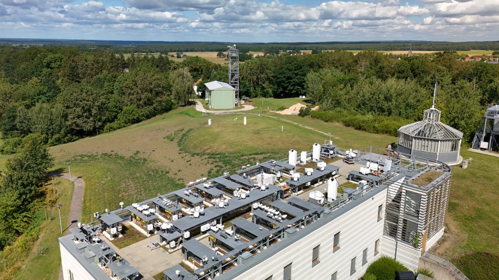
Following a 4½-month measurement phase, the campaign conducted by the C3SAR (Cloud 3D Structure and Radiation) research group was successfully completed. Since mid-April, ten participating institutes had been operating a wide range of measurement systems both at the DWD’s (German Weather Service) Lindenberg Meteorological Observatory and at the DWD measurement site in Falkenberg.


Over 30 measuring instruments were deployed at the two sites, including several lidar systems and cloud radars from the DWD, TROPOS and the University of Leipzig, which can be used to determine cloud microphysical properties. As these instruments only record cloud properties at specific points, additional instruments supplemented the measurements and recorded the spatially inhomogeneous distribution of cloud cover across the entire sky. On the one hand, several networked cloud cameras were operated. On the other hand, the AMUDIS measurement system from the University of Hanover recorded incoming radiation from various directions across the entire sky at different wavelengths.

The measurements at the two sites, approximately 4 km apart, were extended to an area of 10 by 10 kilometres through the operation of a pyranometer network by TROPOS. Forty-five pyranometers measured the incident solar radiation, thereby investigating how radiation conditions vary within this measurement area.

In addition, several airborne measurements contributed to the campaign. For example, a team from the Technical University of Braunschweig operated a drone equipped with a pyranometer. The resulting data provide a valuable supplement to the measurements from the pyranometer network. Furthermore, TROPOS deployed the ACTOS measurement platform. This was towed through clouds by a helicopter and used to determine their microphysical properties.

These efforts have been undertaken to better understand the effect of the three-dimensional structure of clouds on the transport of incoming solar radiation. To date, clouds have been represented as homogeneous layers in weather and climate models. The diverse geometric shapes and inhomogeneities within clouds are not taken into account. It has been known for years that this leads to errors, some of which are significant. Now, for the first time, C3SAR aims to quantify these errors so that they can be corrected.


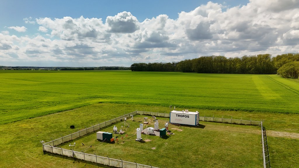
At the measuring site in Falkenberg, both the Oceanet container – equipped with a dual-FOV Raman lidar from TROPOS – and a Cloudnet station, including a cloud radar, from the University of Leipzig were set up. Photo: Ben Skodda, DWD
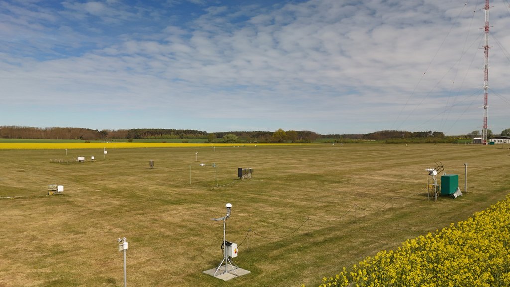
Another area of the measurement site in Falkenberg. Among other things, a pyranometer (front left) and a cloud camera (front centre) can be seen here. Photo: Ben Skodda, DWD
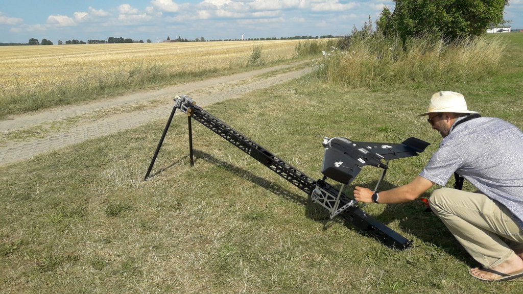
Launch of the pyranometer drone from the Technical University of Braunschweig. Photo: Jörg Schmidt, TROPOS
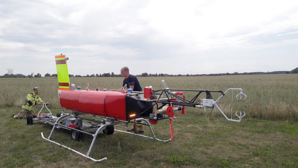
The ACTOS measurement system being prepared for a measurement flight. Photo: Jörg Schmidt, TROPOS
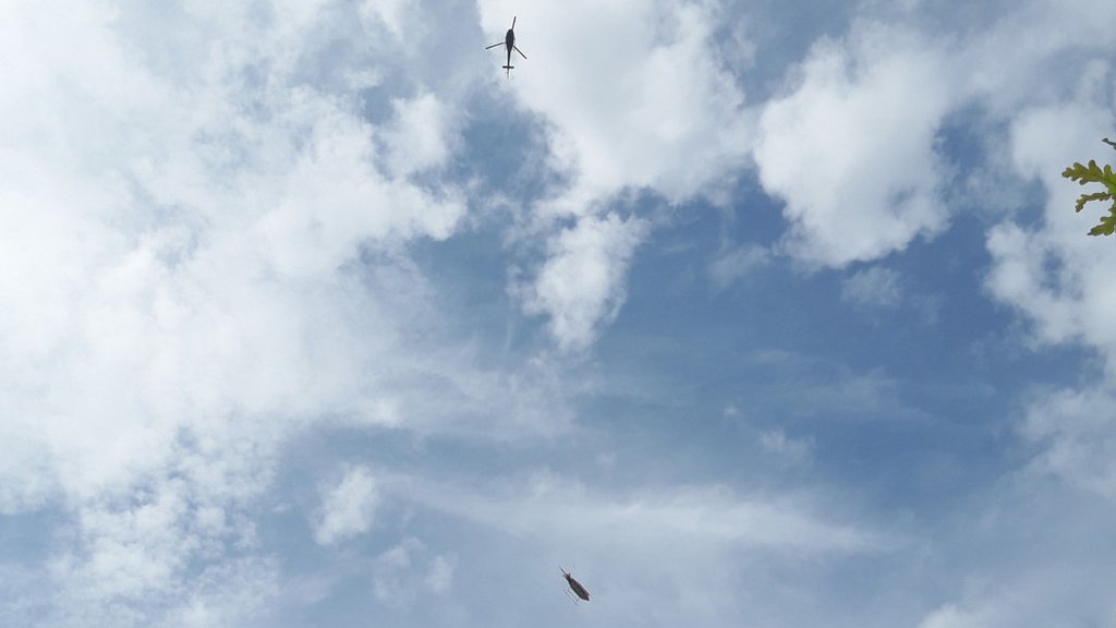
ACTOS, towed by the helicopter. Photo: Jörg Schmidt, TROPOS