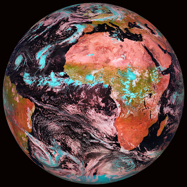
False-color composite of the Earth, Source: EUMETSAT
Satellite Remote Sensing
False-color composite of the Earth as observed by the geostationary satellite METEOSAT9 on September 21st, 2010. This satellite is operated by EUMETSAT and provides current images each 15 minutes, which are received and archived at TROPOS.
False-color composite of the Earth, Source: EUMETSAT
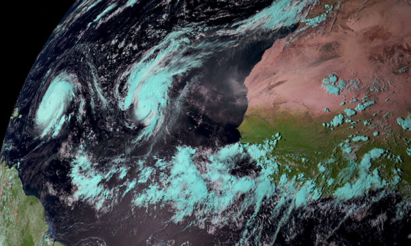
Satellite image of the tropical hurricanes „Igor“ and „Julia“, 2010, Source: EUMETSAT
The enlarged image shows the tropical hurricanes „Igor“ and „Julia“. 2010 was the first season since 1926 which had two simultaneously active category-4 hurricanes (wind-speeds exceeding 178km/h) over the Atlantic ocean.
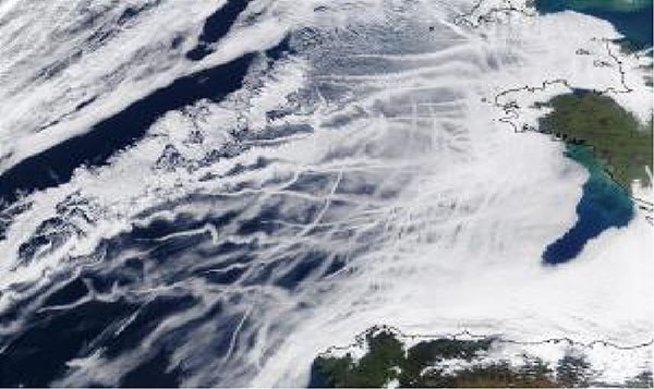
Ship tracks, visualized by MODIS instrument, Source: NASA
Observations of the indirect aerosol effect caused by ships on the Atlantic ocean. The ship tracks are clearly visible in the clouds. The image has been acquired by the MODIS Instrument onboard the polar-orbiting Terra satellite (source: NASA).